


















返回列表
利用点光谱和成像光谱技术研究矿区复垦土壤有机碳和全氮的垂直分布
农业监测
2026/09/21
摘要:矿区复垦土壤有机碳和全氮含量是矿区植被生长的重要条件,也是评价矿区复垦土壤质量的重要指标。与传统的 湿化学方法相比,土壤光谱学(( 包括成像光谱学)可用作一种成本低、省时的土壤分析技术。然而,有一个很大的挑战, 结合实验室点光谱和实验室高光谱图像的 SOC 和 TN(0-100 cm)的垂直分布图在复垦土壤。这主要是因为混合不同来 源和技术的光谱数据以改进土壤模型仍处于起步阶段。本研究的主要目的是提供一个通用的工作流程,有效地评估和地 图复垦矿山土壤在不同的视野,使用成像光谱和机器学习的方法。在中国北方3个矿区复垦地和1个自然点共采集了65 个土壤样品(0-100 cm)。在实验室条件下获得了点土壤光谱信息和高光谱图像(350-2500 nm)。为了加强土壤质量指标 与光谱特征之间的关系,提出了叠加特征选择算法和三波段光谱指数,以进一步建模。应用偏最小二乘回归、PLSR、随 机森林、RF和径向基函数模型((RBF)3种基于点谱的机器学习方法对土壤有机碳和全氮的垂直分布进行了标定和制图。 结果表明,土壤有机碳和总氮的光谱特征分别为 30 个和 18 个波段。 利用特征光谱波段和优化的三波段光谱指数,RF 模型对SOC(R2 = 0.97,RMSE = 7.5 g/kg)和TN(R2 = 0.78,RMSE = 0.33 g/kg)的预测结果最好。研究表明,成像光 谱技术可用于矿区复垦土壤质量指标的量化和制图,以更好地监测矿区复垦土壤的生态恢复过程。
关键词:可见-近红外光谱法;土壤层位;复垦土壤;煤矿区;土壤性质制图。
期刊:Ecological Indicators
DOI:https://doi.org/10.1016/j.ecolind.2023.111437
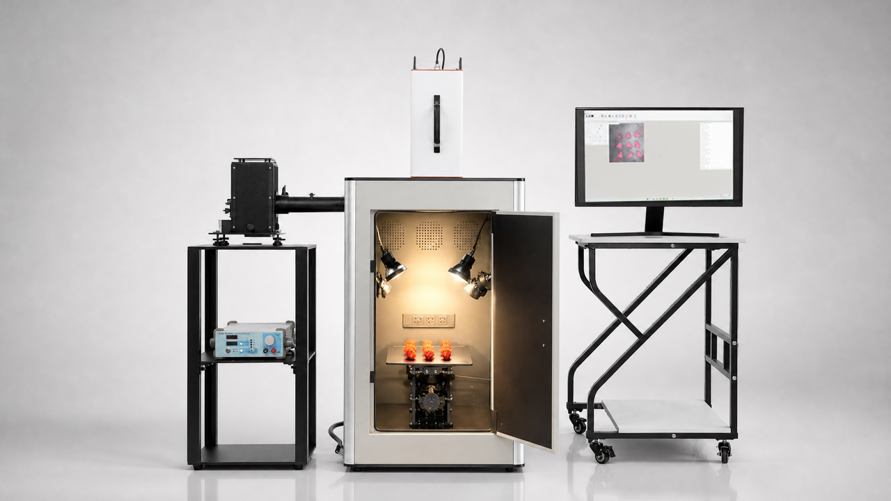
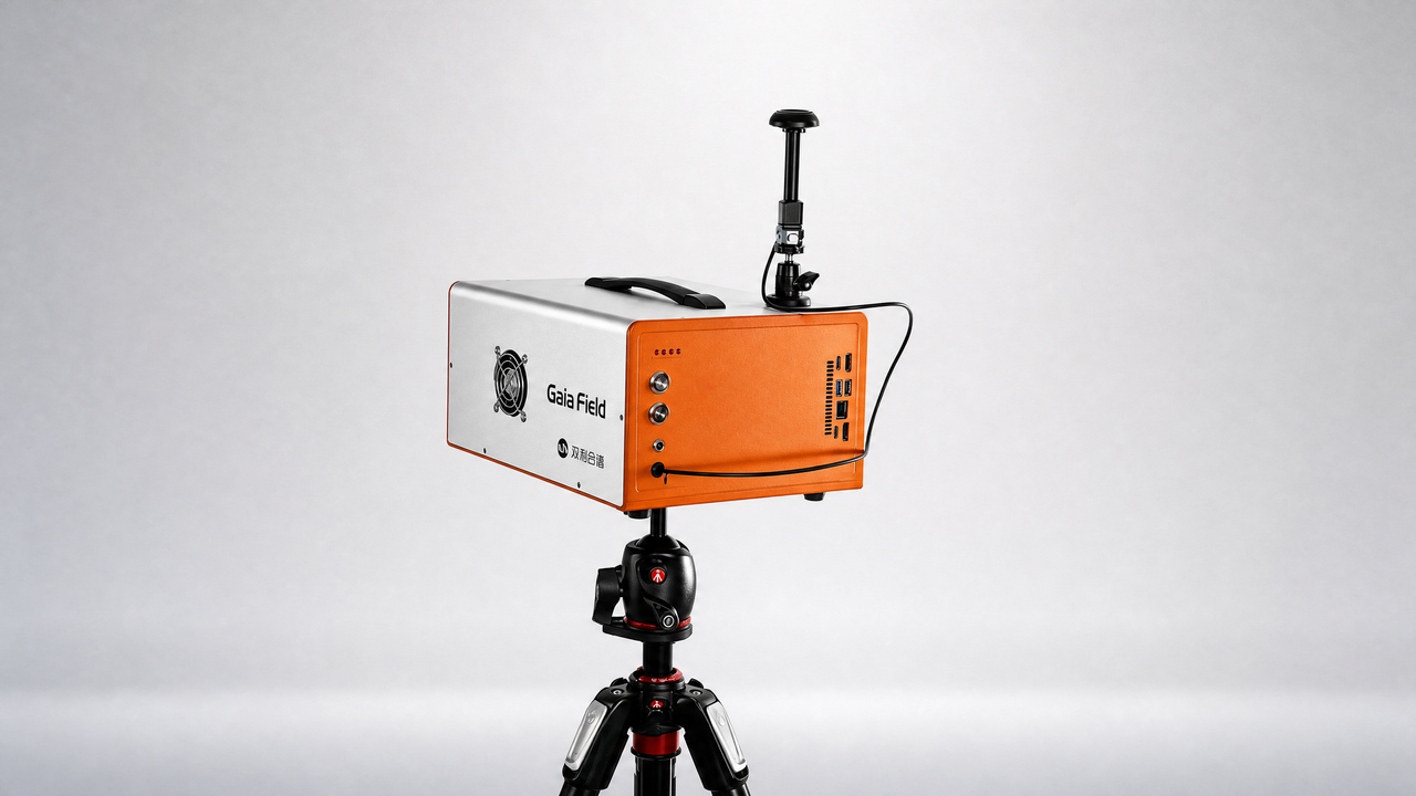
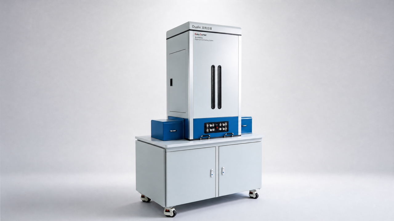
设备:GaiaSorter
Mapping vertical distribution of SOC and TN in reclaimed mine soils using point and imaging spectroscopy
Abstract:Soil organic carbon (SOC) and total nitrogen (TN) contents in different soil horizons are essential for vegetation growth and crucial indicators to evaluate soil quality in reclaimed mining areas. Compared with conventional wet chemistry methods, soil spectroscopy, including imaging spectroscopy, can be used as a cost and time- efficient soil analysis technique. However, there is a great challenge in combining laboratory point spectra and laboratory hyperspectral imagery for mapping vertical distribution of SOC and TN (0-100 cm) in reclaimed soils. This is primarily because mixing of spectral data from different sources and technologies to improve soil models is still in its infancy. The main objective of this study is to provide a generic workflow to efficiently evaluate and map reclaimed mine soils in different horizons using imaging spectroscopy and machine learning approaches. A total of 65 soil samples (0-100 cm) were collected from three reclaimed mining lands and one natural site in northern China. Both point soil spectral information and hyperspectral images (350-2500 nm) were obtained under laboratory condition. In order to enhance the relationship between soil quality indicators and spectral features, the stacked feature selection algorithms and three-bands spectral indices were proposed for further modelling. Three machine learning methods (partial least squares regression; PLSR, random forest; RF, and radial basis function model; RBF) based on the point spectra were applied to calibrate and map continuous vertical distribution of SOC and TN. According to the results, thirty spectral bands were identified as important spectral features for SOC and eighteen bands for TN. With feature spectral bands and optimized three-bands spectral indices, the RF model yielded the best predictions for both SOC (R2 = 0.97, RMSE = 7.5 g/kg) and TN (R2 = 0.78, RMSE = 0.33 g/kg). It was concluded that imaging spectroscopy can be used to quantify and map soil quality indicators for better monitoring ecological restoration process in reclaimed soil of mining site.
Keywords:Visible and near infrared reflectance spectroscopy, Soil horizon, Reclaimed soil, Coal mine area, Soil properties mapping